Tahoe National Forest – Placer County
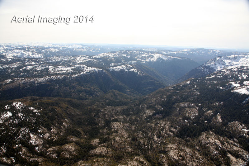
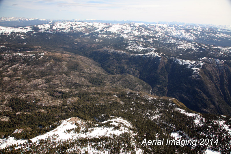
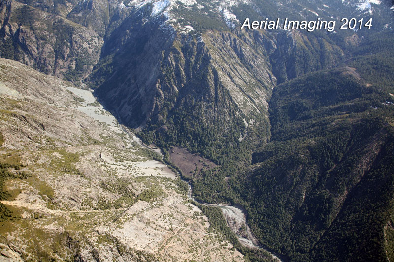
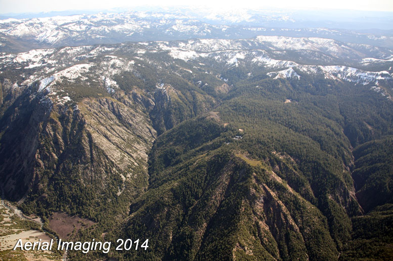
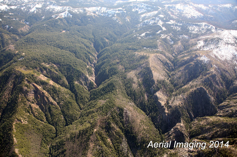
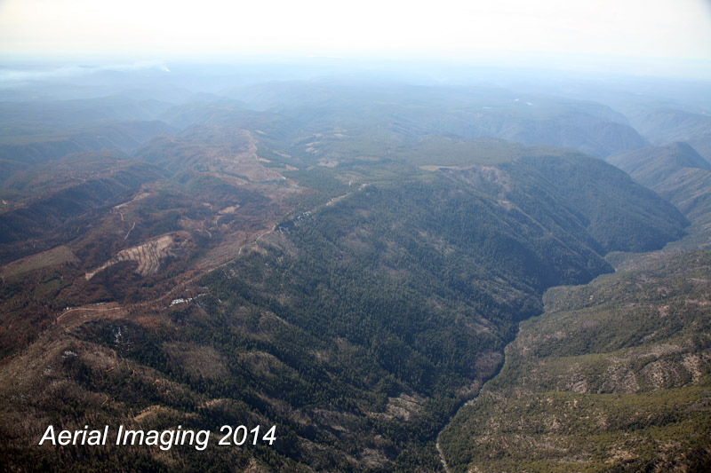
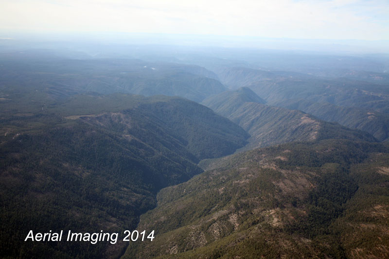
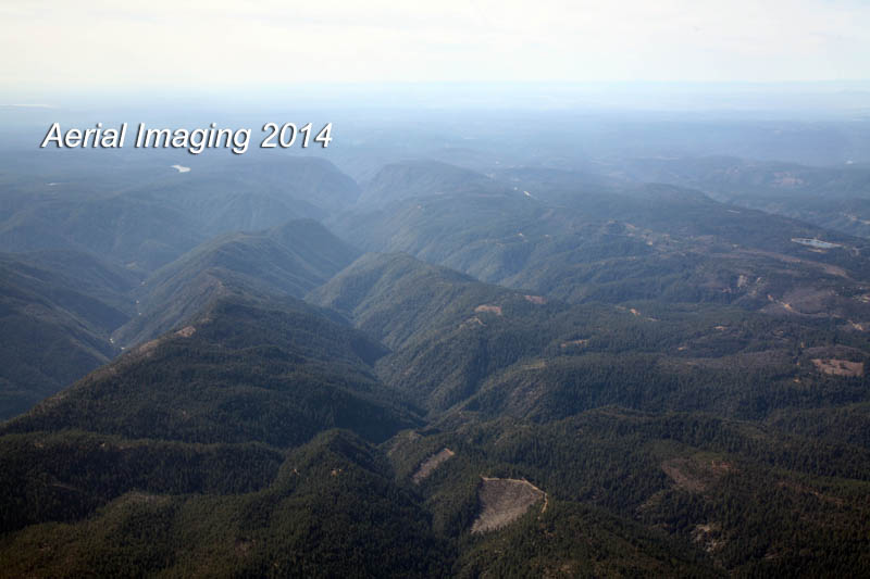
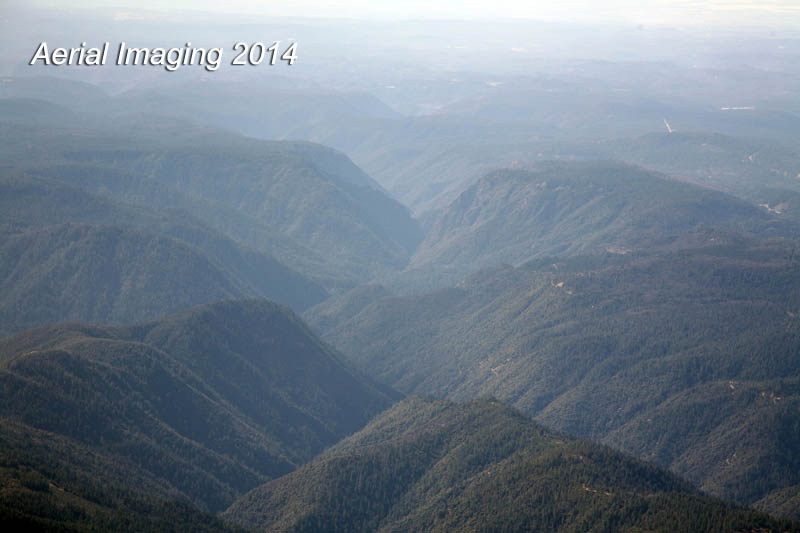
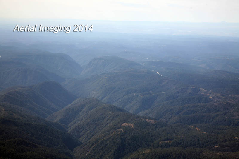
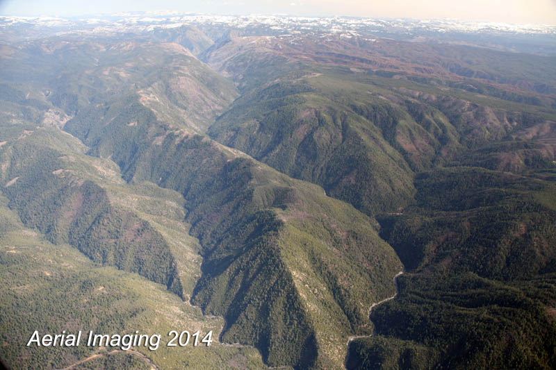
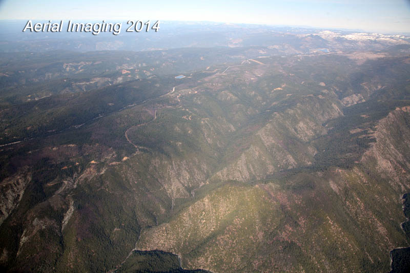
Here are images from a casual flight over Tahoe National Forest. Areas include the ridges outside of Foresthill, CA,The American River, French Meadows Reservoir, and Hellhole Reservoir – all in Placer County.
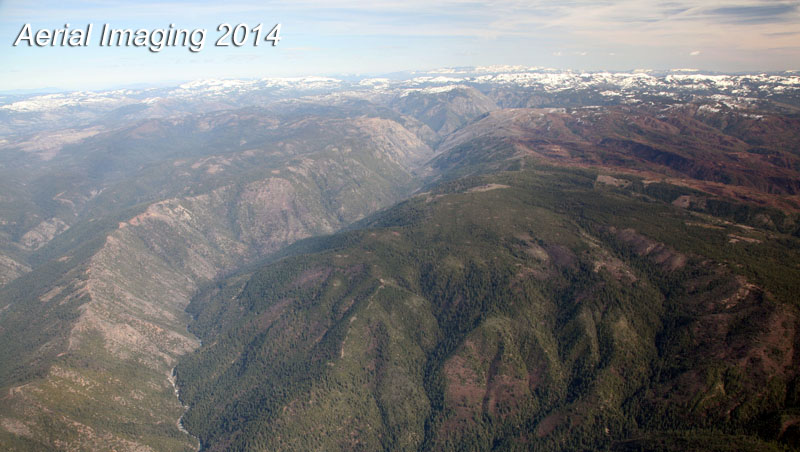
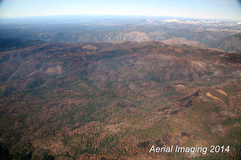
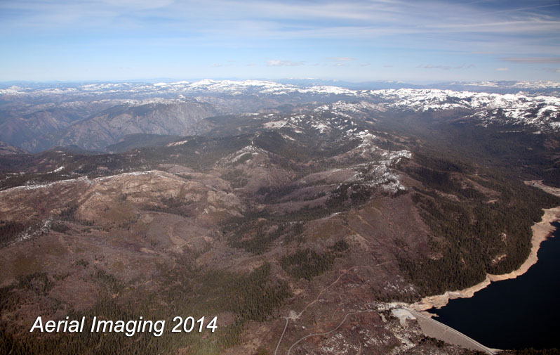
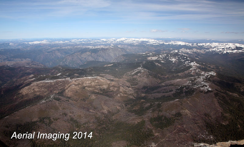
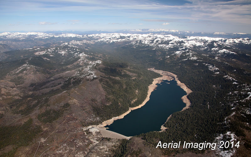
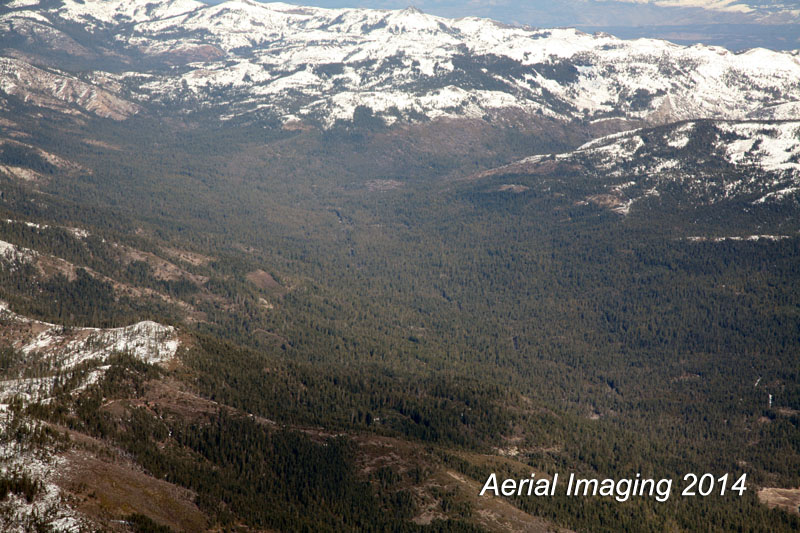
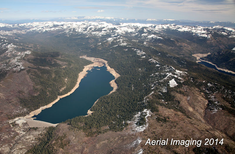
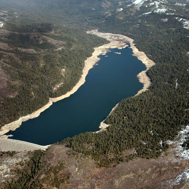
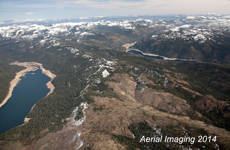
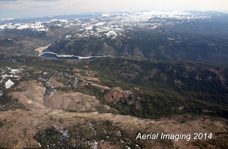
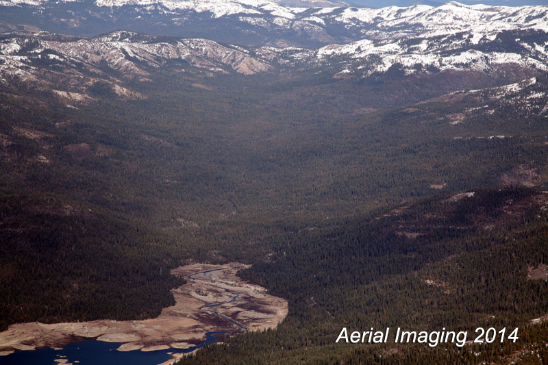
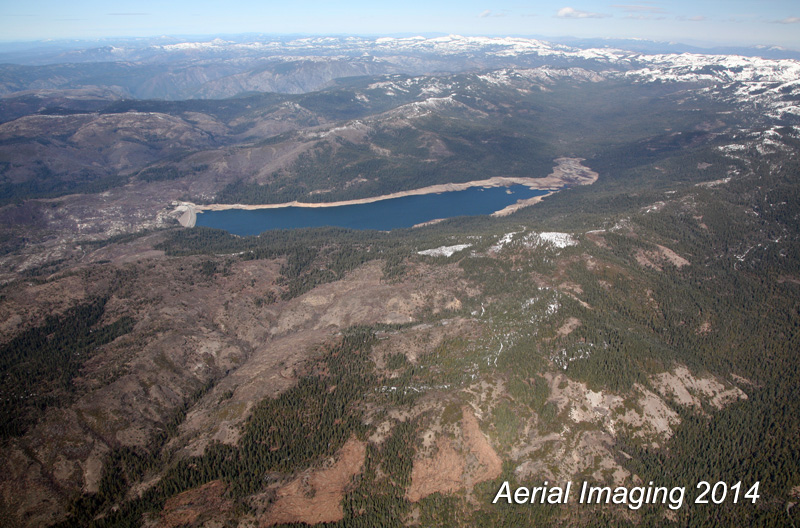
Here are images from a casual flight over Tahoe National Forest. Areas include the ridges outside of Foresthill, CA,The American River, French Meadows Reservoir, and Hellhole Reservoir – all in Placer County.
Commercial photographer and videographer since 2005. Reno is home with wife and 2 kids. Coffee drinker, reader of history, guitar player and forest explorer near Tahoe. Always up for a good story.