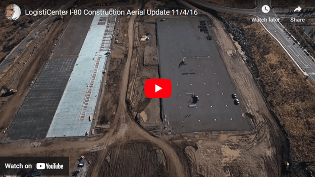
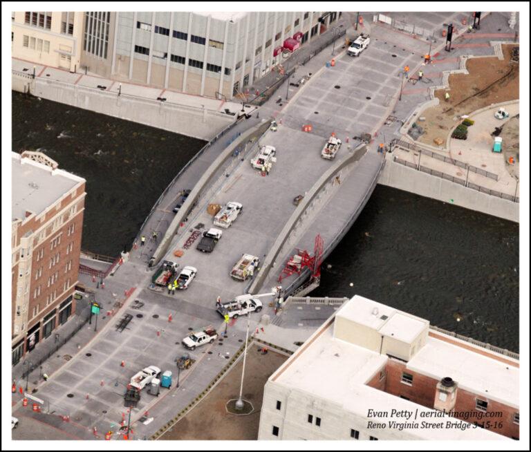
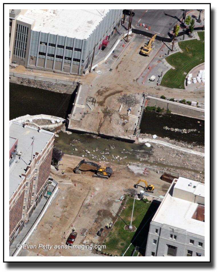
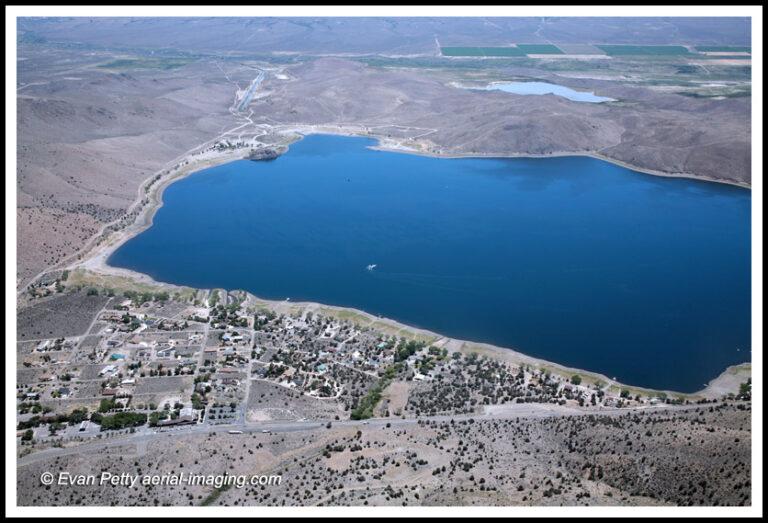
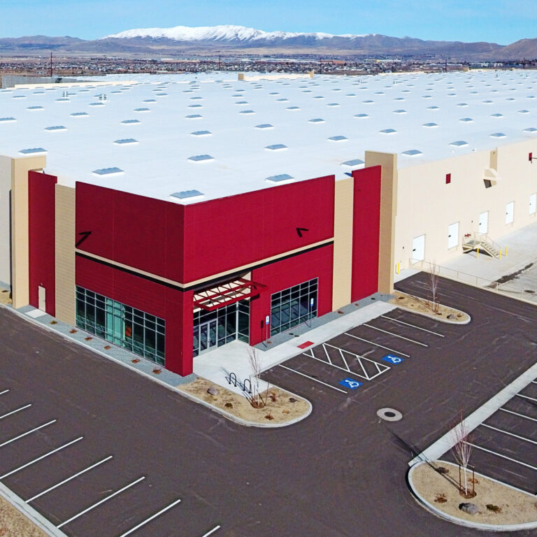
Reno’s Virginia Street Bridge – Demolition Has Started!
| |

Reno’s Virginia Street Bridge – Demolition Has Started!

Reno’s Virginia Street Bridge – Demolition Has Started! Yesterday’s aerial construction demolition photos of the Virginia Street Bridge, the oldest of all the usable bridges spanning the Truckee River. This 1905 iconic bridge is being replaced after sustaining damage from flooding in 1997 and 2005. The bridge has long been the symbol of divorce folklore –…

Aerials of Topaz Lake in Nevada and California
|

Aerials of Topaz Lake in Nevada and California

Aerial Photography View of Topaz Lake Topaz Lake is located on the Nevada (Douglas County) and California (Mono County) border – about a 90 minute drive south of Reno. In this aerial you can see the reservoir’s residential area is on the northwest shore showing boat access to the water. Boating, water-skiing and fishing are…

Aerial Haunted View – Nevada’s Comstock Cemetery
|

Aerial Haunted View – Nevada’s Comstock Cemetery

The Story of the Glowing Headstone From a distance, witnesses claim to see a headstone glowing at night in the Virginia City cemetery. The ghostly event happens only occasionally, and the glow fades as you approach the light. Many ghost hunters and investigators have tried to solve this mystery by investigating with special permission. You can…

Interesting Google Earth Images – Nevada
| |

Interesting Google Earth Images – Nevada

Google Earth Locations To Investigate Nevada has an interesting history with unique sites, some of which can only been seen using Google Earth. Here are some noteworthy images I have found. You will need to open Google Earth and paste the latitude/longitude locations below. Fun Stuff!

Construction Aerial Progression 2014
| |

Construction Aerial Progression 2014

Aerial Photography Progression Example in Nevada Here are aerial progression photo sequences of construction sites  in Northern Nevada. These examples show how aerial photography can help you make a big impression on your clients and help win future work. Douglas County Community & Senior Center in Gardnerville, NV Below are aerial construction examples of the Douglas County Community…

Agriculture Aerial Photography
| |

Agriculture Aerial Photography

Aerial Photography Views of Fields, Farms, and Crop Circles According to the Nevada Department of Agriculture, Nevada ranches rank third in the nation in size, averaging 3,500 acres. Alfalfa hay is the leading crop in revenue dollars. Learn more about what we can do to shoot fantastic shots of large land and properties using drone, airplane…

Bridge Construction
| |

Bridge Construction

Aerial Views Washoe Bridge Hwy 580 Construction Progress The country’s largest cathedral-arch bridge is a 295-ft-tall bridge located about 20 miles south of Reno. along highway 580. The 2012 opening of Galena Bridge in Reno shortens the drive time to Carson City by 15 minutes and diverts traffic away from communities in Washoe County for approximately 40,000 cars…