GSR Aerial View from Airplane in Reno, NV
Here is a view I see frequently from the air, the GSR in near the approach for RNO Reno Tahoe International Airport. After shooting aerial pictures it is hard not to grab a quick aerial:
Aerial drone commercial photography & video blog | Reno | Sparks | Carson City | Northern Nevada | Tahoe | Truckee | Sacramento
Here is a view I see frequently from the air, the GSR in near the approach for RNO Reno Tahoe International Airport. After shooting aerial pictures it is hard not to grab a quick aerial:
More aerial pictures from this month of the historic Virginia City, Nevada. This historic city is a must see spot for anyone visiting Northern Nevada. Aerial prints make a fantastic gift! Contact us via the contact us page if you are interested in ordering a print. Here are aerial pictures available in hi-resolution:
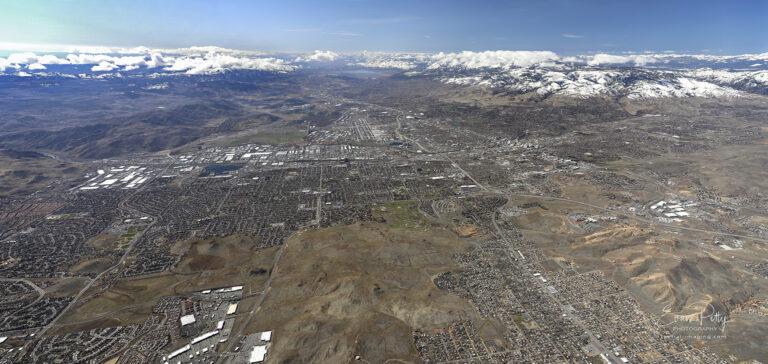
Here is an aerial panoramic view of Reno and Sparks from Spring 2019. This hi-resolution image is a composite of 7 images stitched together, shot from an airplane on a gorgeous Spring morning. The areas include much of Reno and Sparks as well as Lake Tahoe in the background. Please contact me for more information…
Construction aerial of Lumina at Spanish Springs – New Construction view!
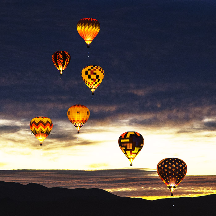
The Reno Balloon Race in 2018 was an amazing place for pictures. The Dawn Patrol and Glow Show are definately worth getting up at 4am to watch. Here are some of my pictures from the event this year!
A recent video I made for a client with a very attractive home right on Lake Tahoe. This includes drone video and photography. Enjoy!
An aerial view of Downtown Reno during the lightning storm today!
The historic Park Lane Shopping Center is being transformed into a master planned community. Here is an aerial view of the location with the Reno skyline in the background.
A custom video of the Dragnet Truck Arresting system showing aerial footage in Incline Village, NV. The runaway truck ramp system features arresting cables and ice melt with a full weather sensing system to stop runaway vehicles in the mountains in Lake Tahoe.
Here is a video tour we created of the Ceresola Land Offering, an assemblage of approximately 64 ‘Sections’ of raw land in a checkerboard pattern lying along the north side of I-80 extending from Fernley, Nevada northeasterly for nearly 17 miles and northerly for another 11 miles. The land encompasses the counties of Washoe, Lyon…
A cool video location for some aerial video work recently. This is a great location with the winding road in the distance.
Here is an aerial shot of a freight train near the Tahoe Reno Industrial Center while shooting aerials this week: