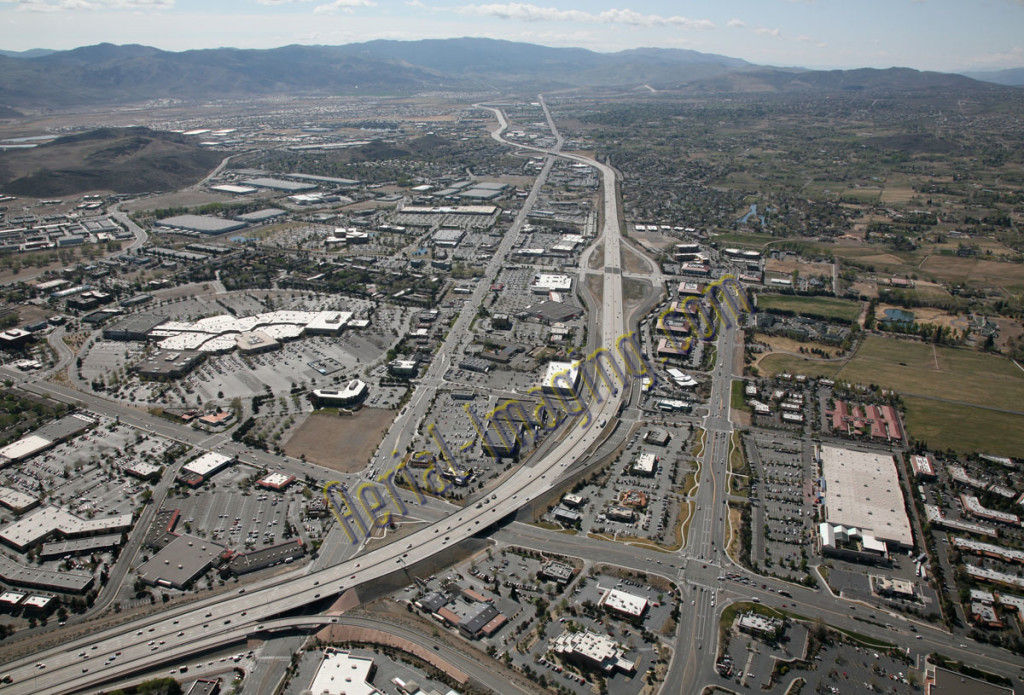
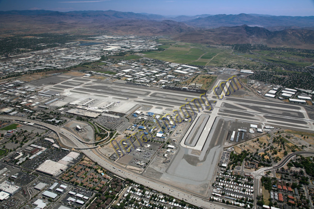
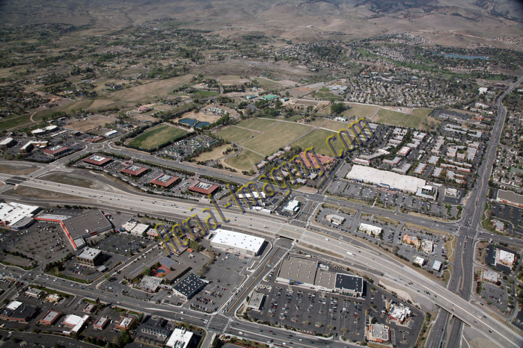
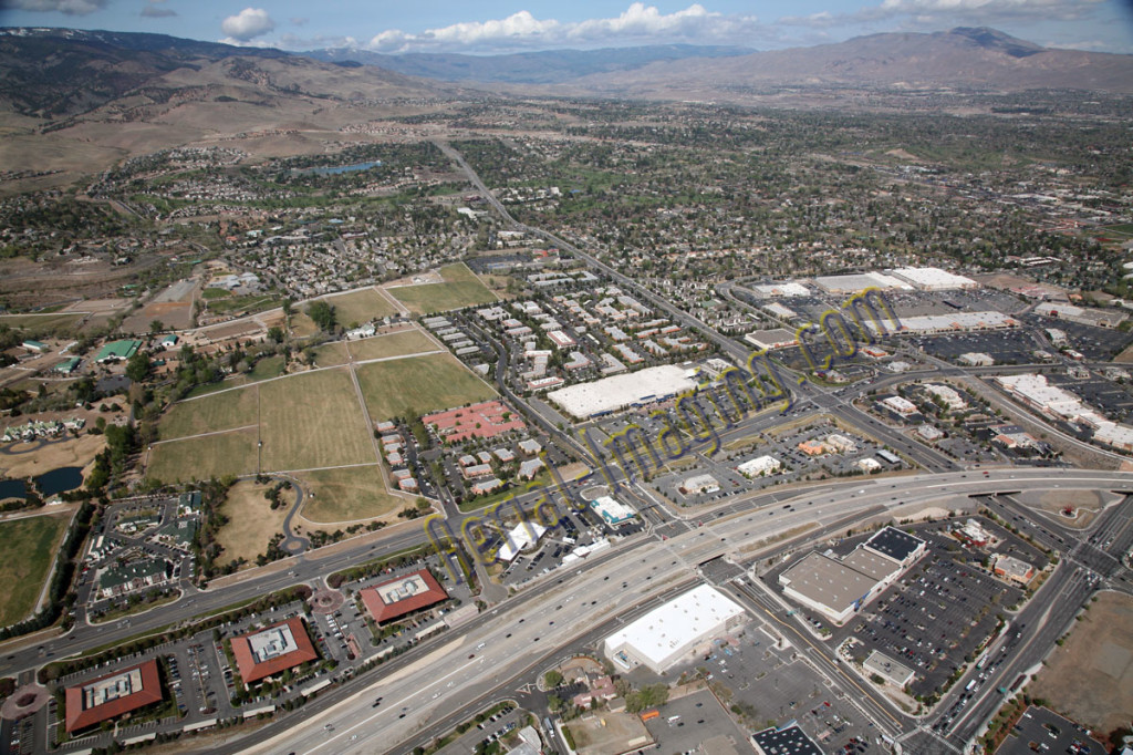
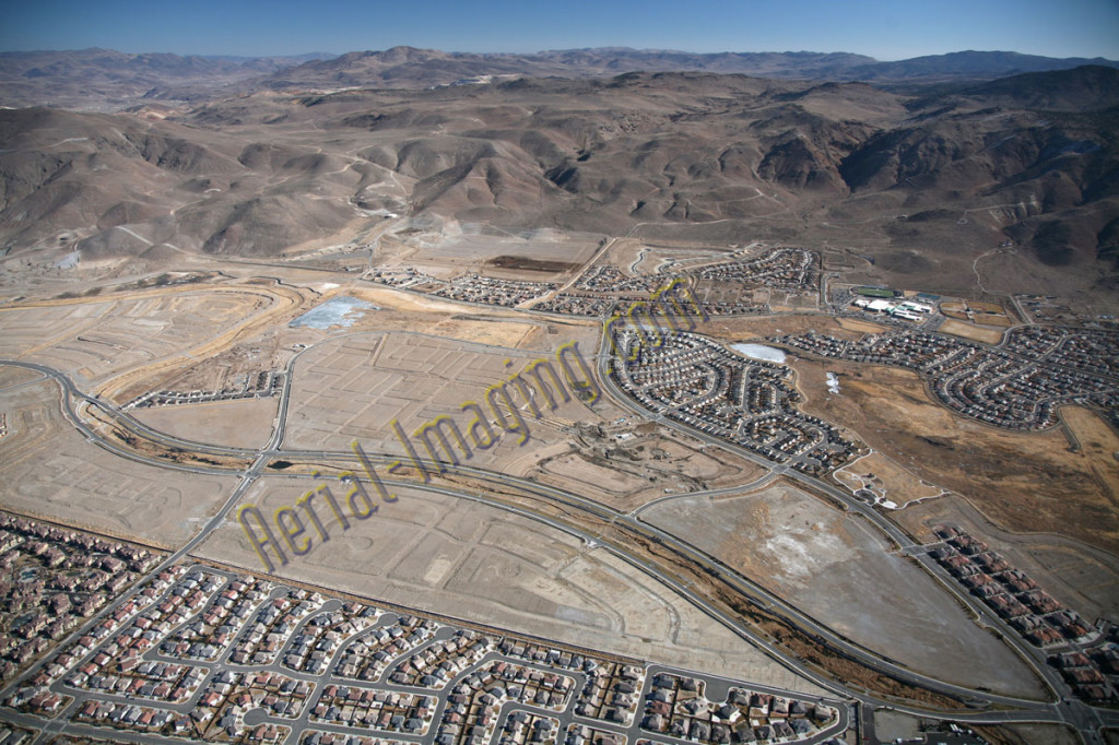
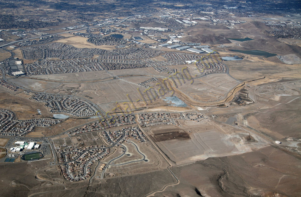
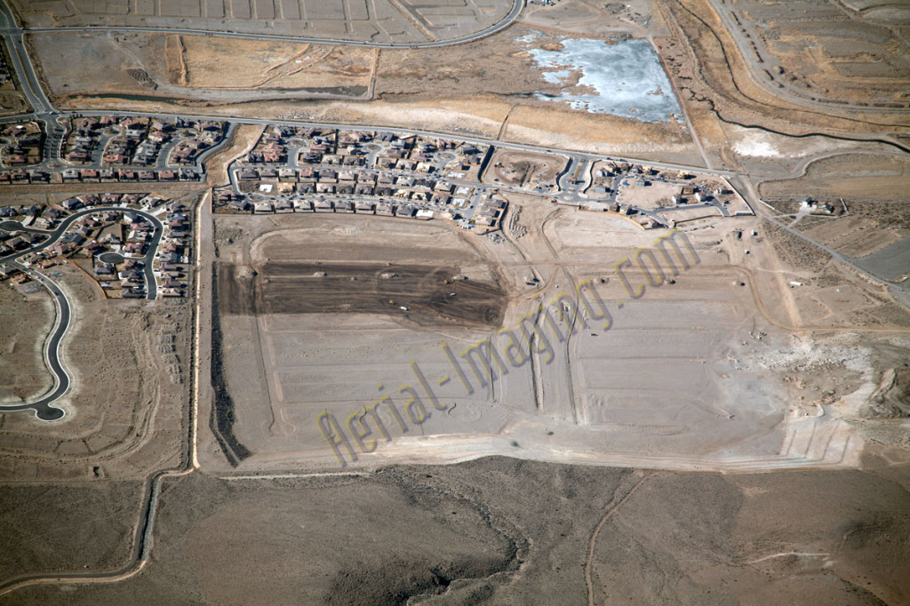
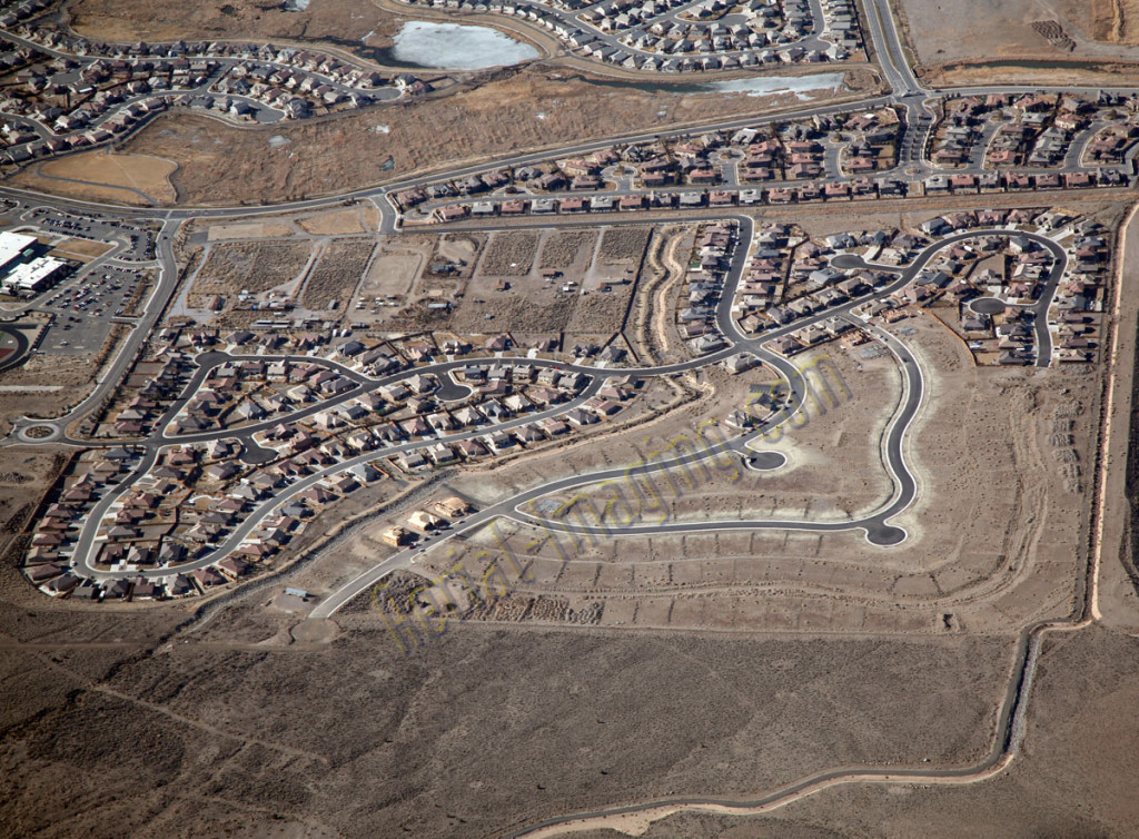
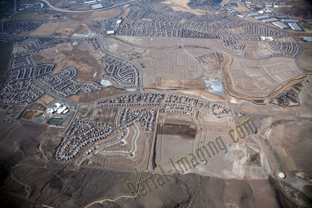
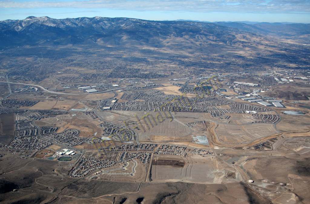
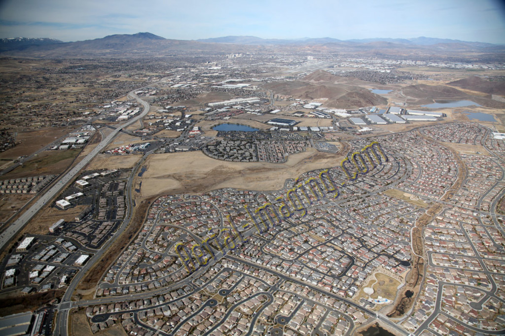
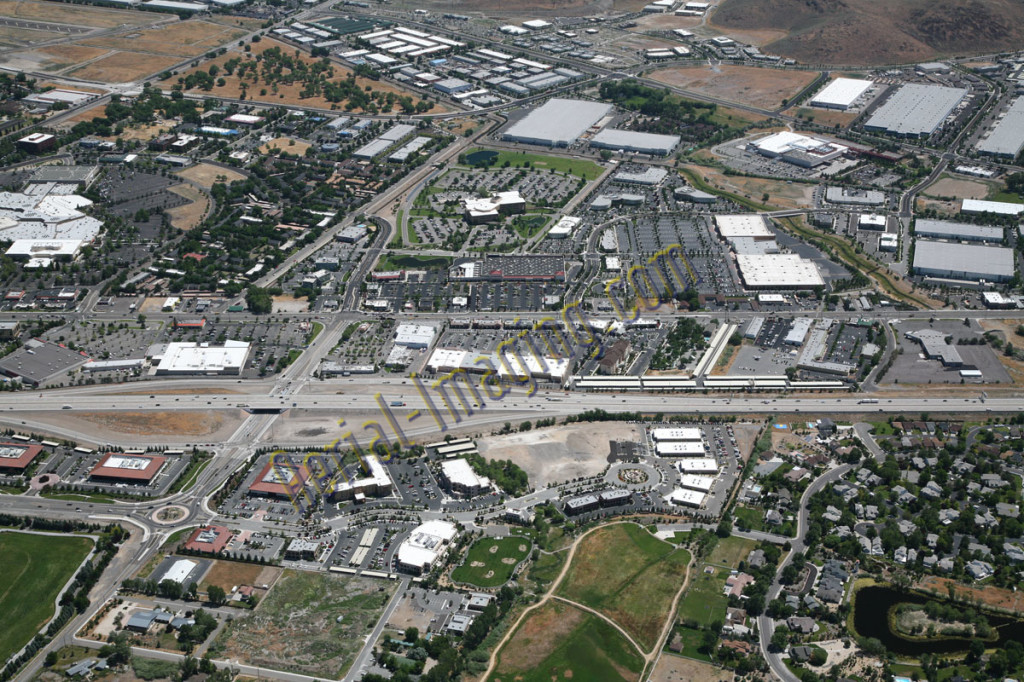
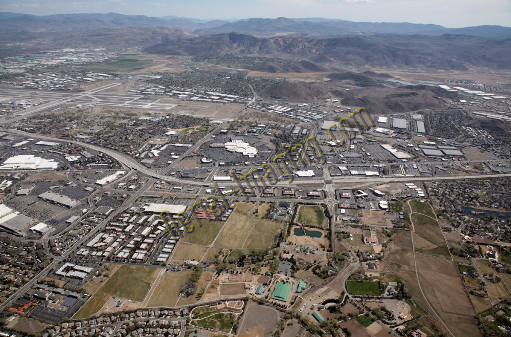
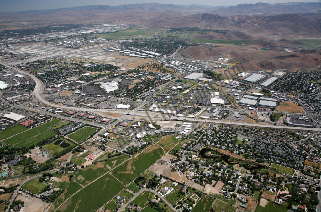
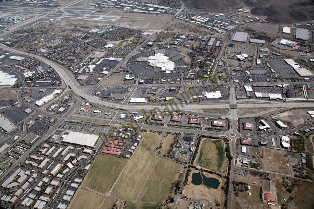
Here are aerial photography shots of the south Reno area from all directions. You can see the Reno airport and downtown Reno as well.
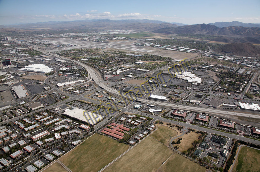
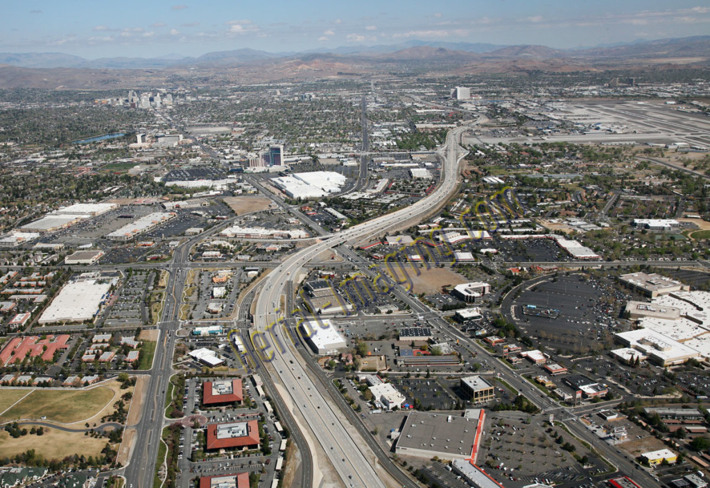
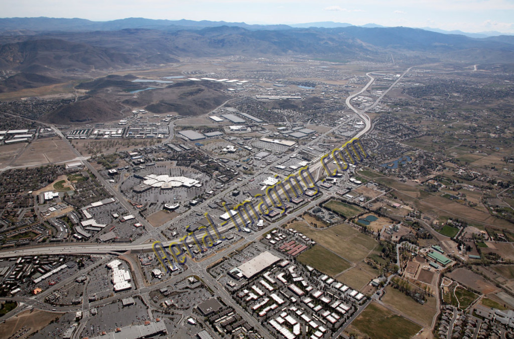
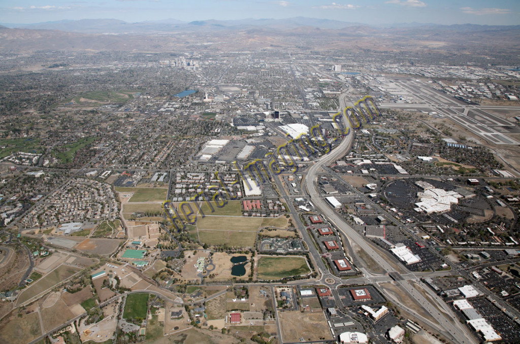
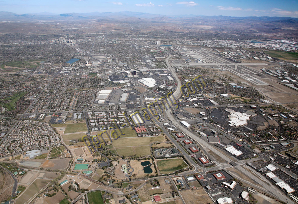
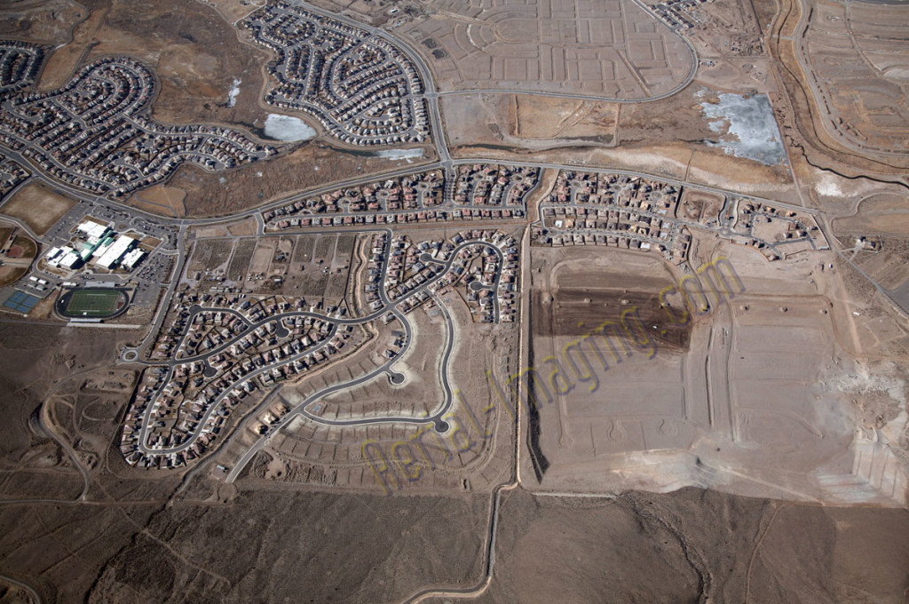
Here are aerial photography shots of the south Reno area from all directions. You can see the Reno airport and downtown Reno as well.