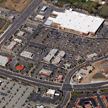
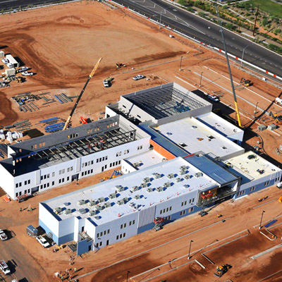
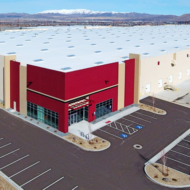
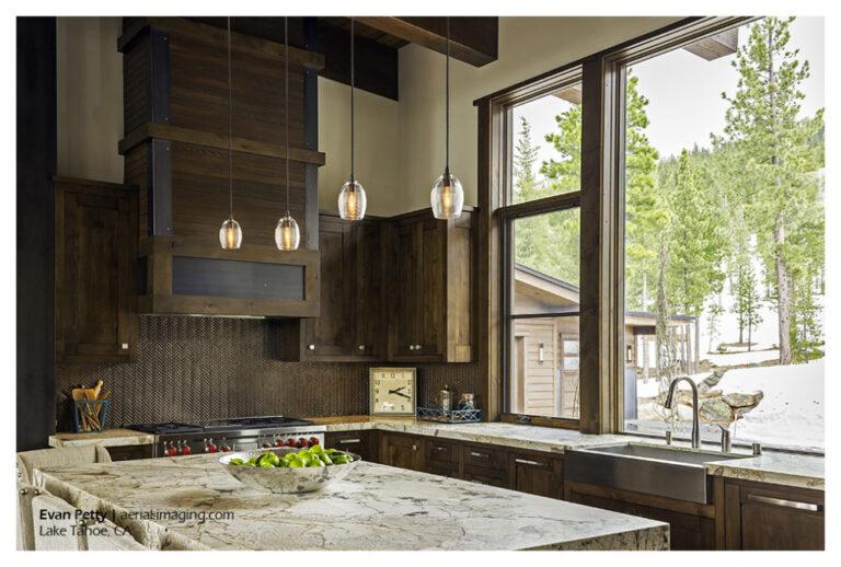
Downtown Reno & Truckee River Flood 2017
Earlier this month I flew over downtown Reno & Wingfield Park along the Truckee River to capture the flood waters. These shots are within a day of the flooding peak.
Genoa, NV and Lake Tahoe Aerial Photography View Today the skies cleared and I flew over Minden, Gardnerville and Carson City, NV to capture some of the stunning views. Here is a shot of the town of Genoa, NV with Tahoe in the background:
Aerial Views of Clouds Above Nevada One of the advantages of flying is to be able to get up high enough to get above the clouds when weather moves in. Here in Northern Nevada we have had a lot of snow, rain and general cold weather this January. This images below are near the Tesla…
Drone Construction Video Update of New LogistiCenter in Reno, NV Here is an aerial video drone update of the construction from 11/4/2016:
Drone Aerial Construction Progress Video Update – USA Parkway in Nevada This construction update video was made for our client this week using a drone. This new 4 lane freeway is about 15 miles east of Reno / Sparks and starts at the Tahoe Reno Industrial Center. It will connect Hwy 80 to Hwy 50 at Silver…
Transcontinental Airmail Arrow Beacon Near Winnemucca, NV Yesterday I flew over a 1920s concrete arrow marker, part of a network of beacons installed in the 1920s to help pilots navigate U.S. Transcontinental flights at night. Before the invention of radar this was the only way for airmail pilots to fly around-the-clock. The Pony Express route was where…
Burning Man Aerials – Black Rock City, Nevada 2019 Flying to Burning Man in 2019 Earlier this month I insisted on flying to Burning Man for the sole purpose of seeing Black Rock City from 3,000 feet. As we refueled in Winnemucca airport (I was staring at the posters on the FBO wall and eating…
Virginia Street Bridge, Reno, Nevada Nearly Complete! Fantastic progress on the Reno Downtown Virginia Street Bridge from last week. Scheduled opening for this Spring!
Reno’s Virginia Street Bridge – Demolition Has Started! Yesterday’s aerial construction demolition photos of the Virginia Street Bridge, the oldest of all the usable bridges spanning the Truckee River. This 1905 iconic bridge is being replaced after sustaining damage from flooding in 1997 and 2005. The bridge has long been the symbol of divorce folklore –…
Aerial Photography View of Topaz Lake Topaz Lake is located on the Nevada (Douglas County) and California (Mono County) border – about a 90 minute drive south of Reno. In this aerial you can see the reservoir’s residential area is on the northwest shore showing boat access to the water. Boating, water-skiing and fishing are…
I captured this morning shot as the early light had just cleared the mountains to the east of Reno. This is a good view of south Reno with the airport next to Rattlesnake Mountain and dramatic mountain views of Washoe Valley in the distance.
A view of our awesome MidTown with downtown Reno in the background. This view was from a helicopter on 2/12/15.