Interesting Google Earth Images – Nevada
Google Earth Locations To Investigate
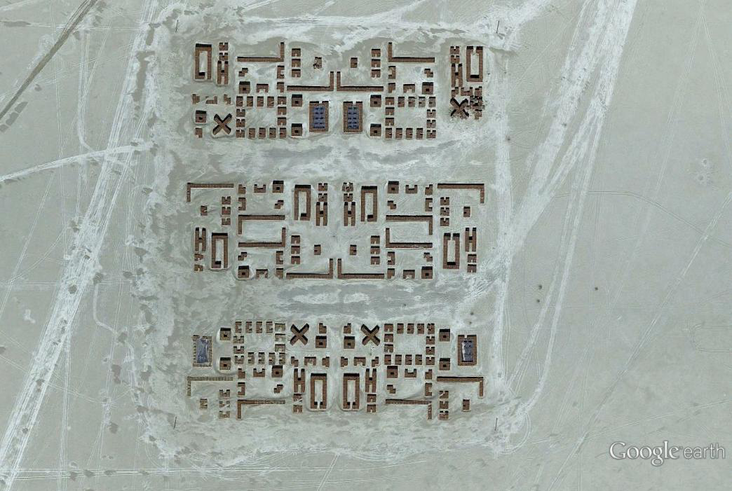
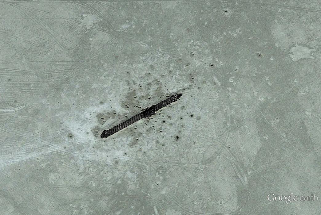
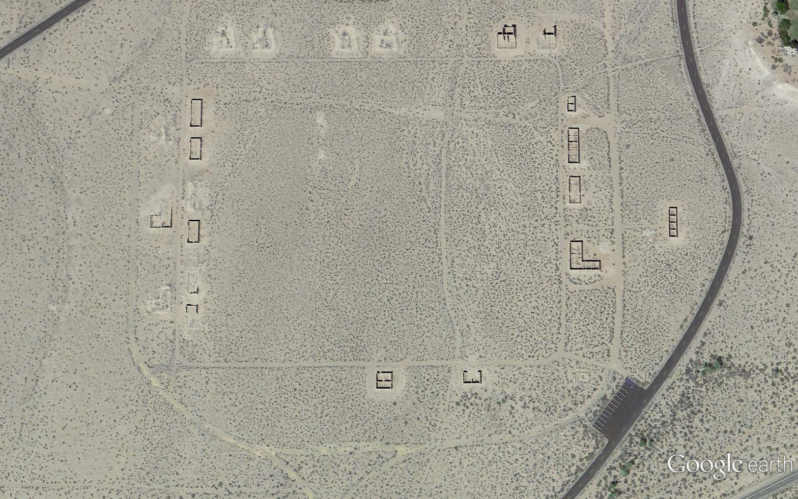
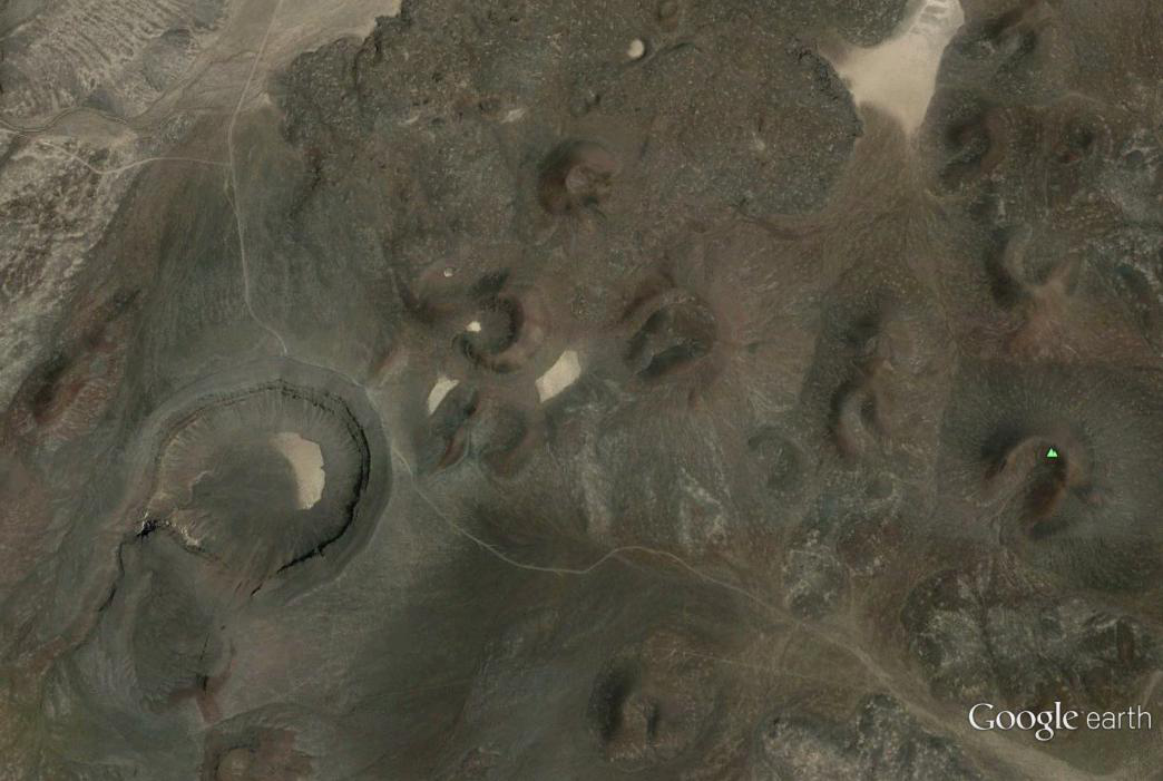
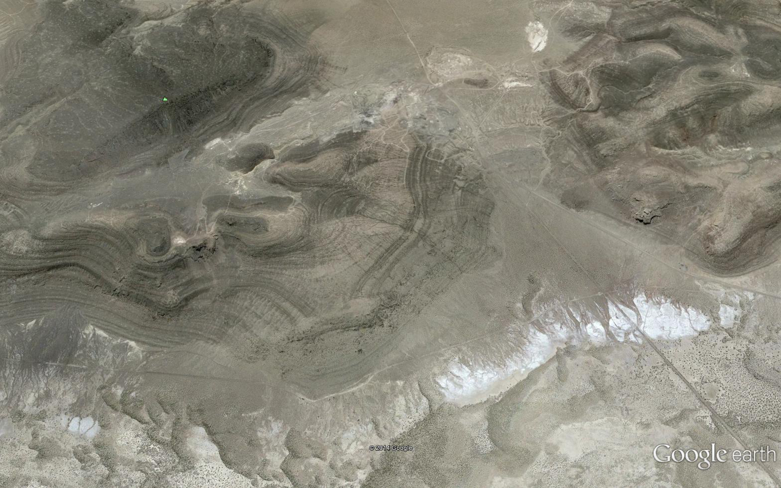
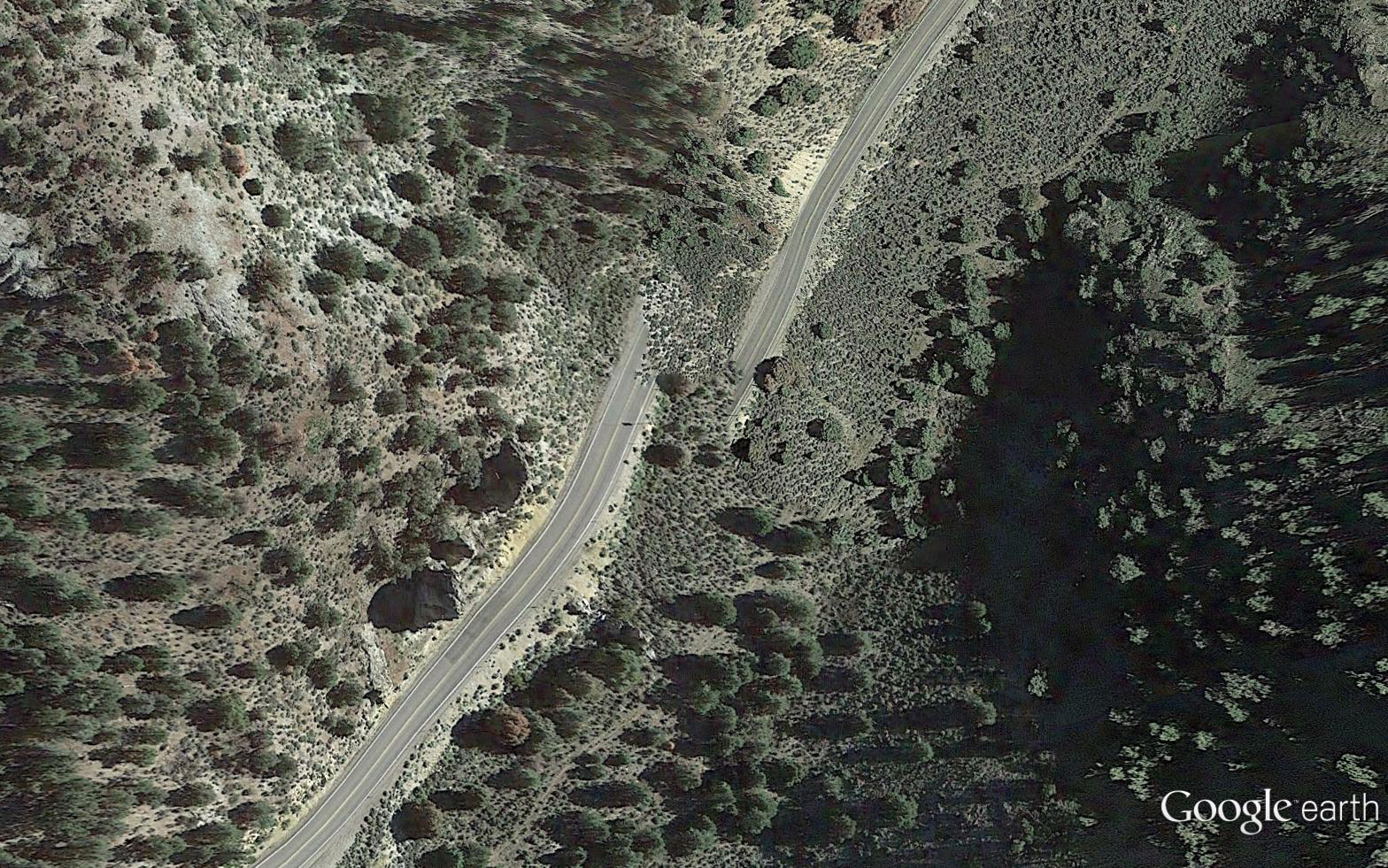
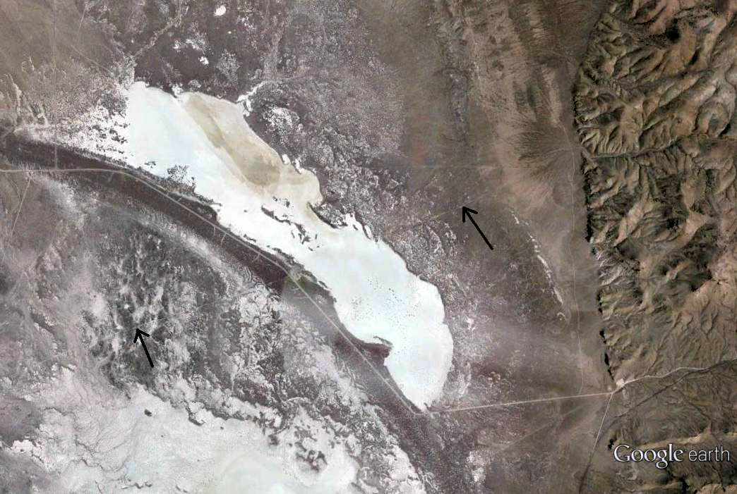
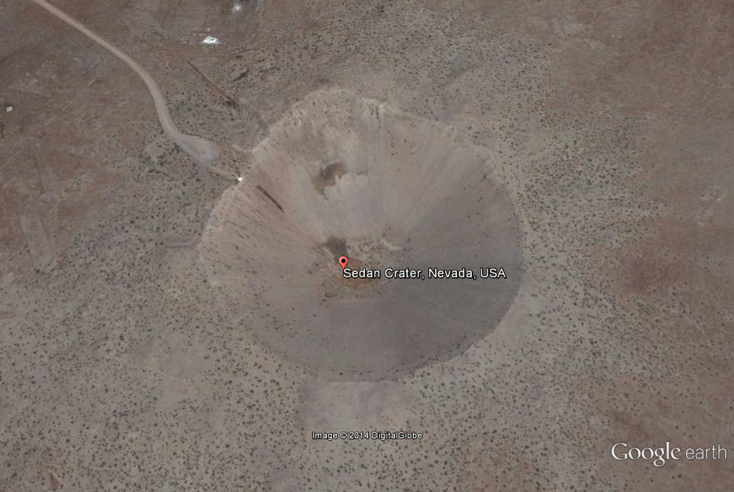
Nevada has an interesting history with unique sites, some of which can only been seen using Google Earth. Here are some noteworthy images I have found. You will need to open Google Earth and paste the latitude/longitude locations below. Fun Stuff!
![](https://aerial-imaging.com/wp-content/uploads/2014/09/symbols-1024x687.png)
![](https://aerial-imaging.com/wp-content/uploads/2014/09/boat-1024x687.png)
![](https://aerial-imaging.com/wp-content/uploads/2014/09/churchill-1024x640.png)
![](https://aerial-imaging.com/wp-content/uploads/2014/09/buttes-1024x687.png)
![](https://aerial-imaging.com/wp-content/uploads/2014/09/caves-1024x640.png)
![](https://aerial-imaging.com/wp-content/uploads/2014/09/722-1024x640.png)
![](https://aerial-imaging.com/wp-content/uploads/2014/09/ponyexpress-1024x687.jpg)
![](https://aerial-imaging.com/wp-content/uploads/2014/09/crater-1024x687.png)
![](https://aerial-imaging.com/wp-content/uploads/2014/09/crosstarget-1024x640.png)
![](https://aerial-imaging.com/wp-content/uploads/2014/09/lostcity-1024x687.png)
![](https://aerial-imaging.com/wp-content/uploads/2014/09/tower-1024x687.png)
![](https://aerial-imaging.com/wp-content/uploads/2014/09/StThomas-1024x640.png)
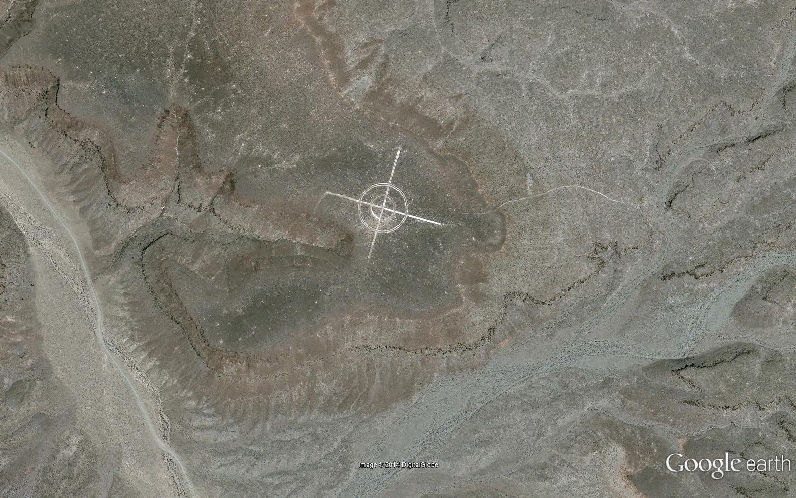
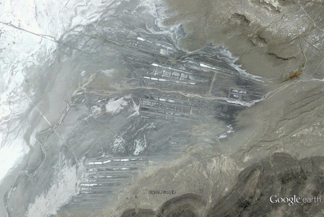
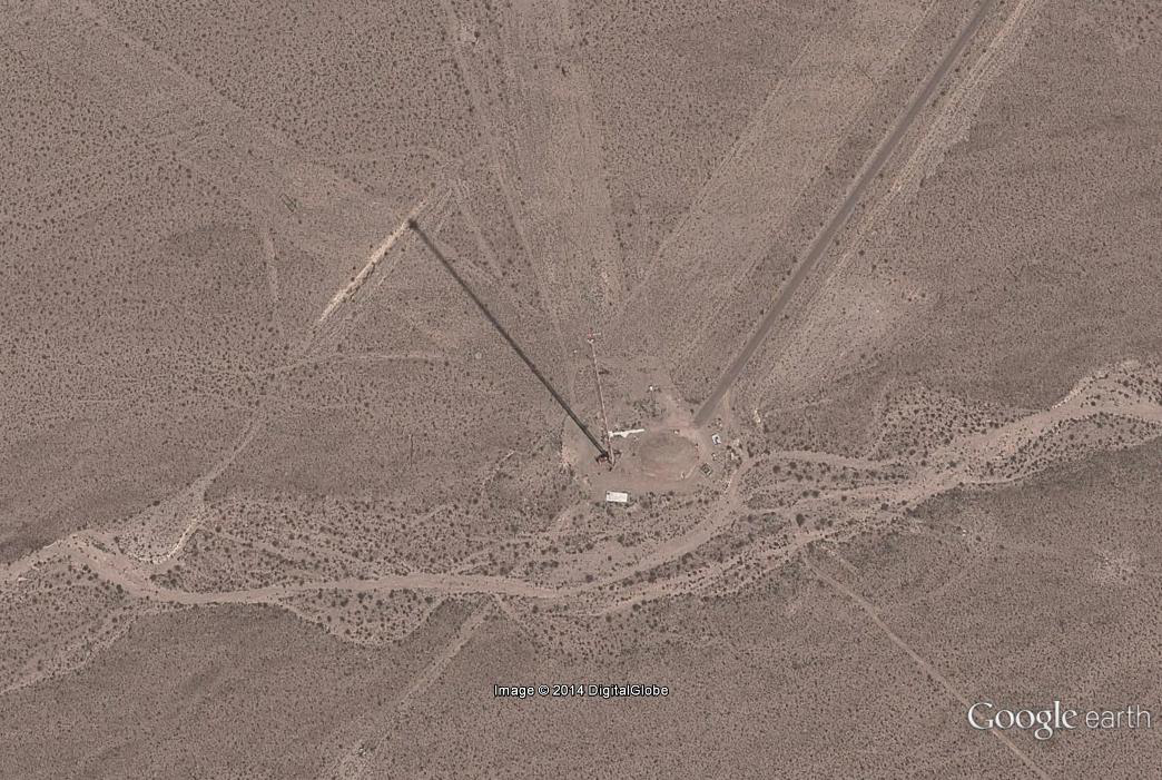
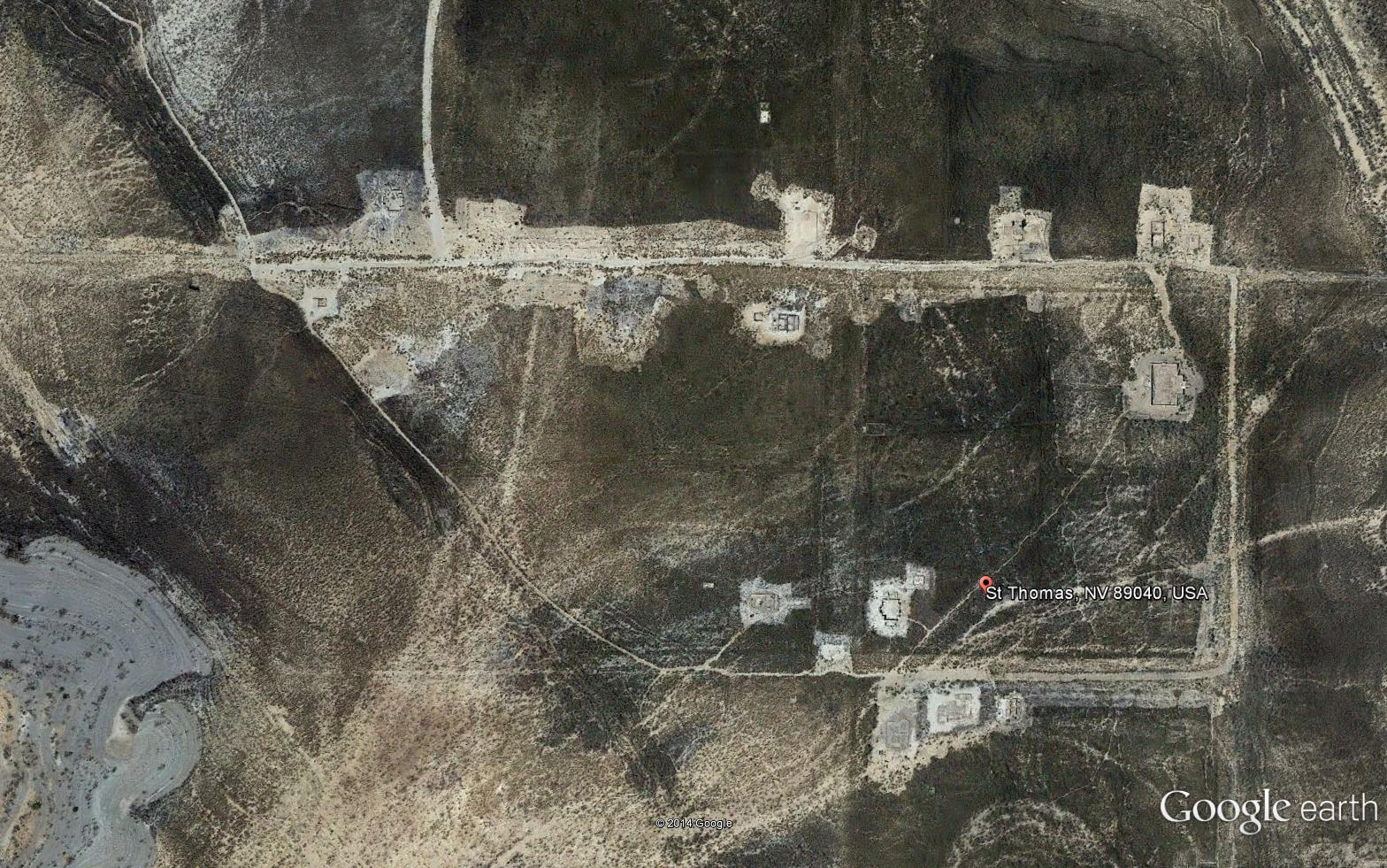
Theses are just a few of the ones I have found. If you know more, please share!