Colorful Trees Reno, NV
Stunning fall colors from last autumn in west Reno. I walked the trails just to east of Caughlin Ranch for these shots as a storm rolled in.
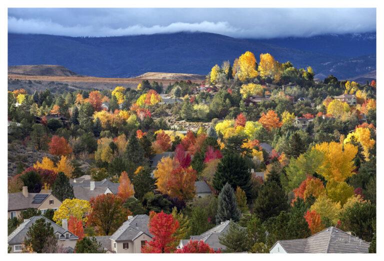
Stunning fall colors from last autumn in west Reno. I walked the trails just to east of Caughlin Ranch for these shots as a storm rolled in.
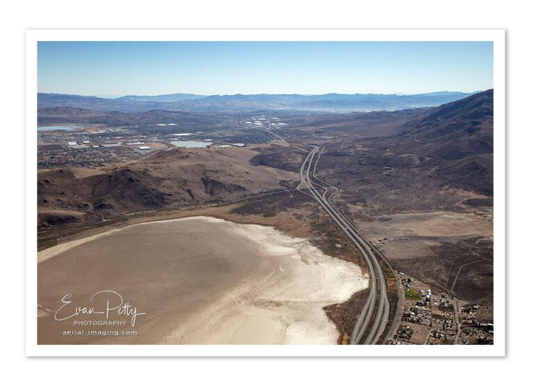
Aerial Photography of North Reno, NV in Cold Springs High resolution aerial shots 14 miles north of Reno is Cold Springs near the U.S. 395/White Lake Parkway interchange. Contact Evan for the set of the latest high resolution aerial shots. Contact us if you need to purchase these stock images for your Marketing.
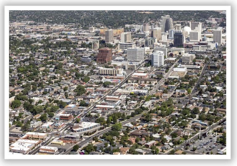
A new aerial shot from my recent flight – shot in very high resolution of downtown Reno including midtown in the foreground. Perfect as a large print or wall wrap with amazing detail!
Purchase Evan Petty Photography (Aerial Imaging) prints for your home or business. Gorgeous landscape, aerials, portraits and more. High quality printing quality and options include standard / matte prints, canvas wraps, wall wraps, metal prints and more! Click the image below to visit my online gallery. Evan Petty Photography: https://www.pictorem.com/gallery/Evan.Petty.Photography
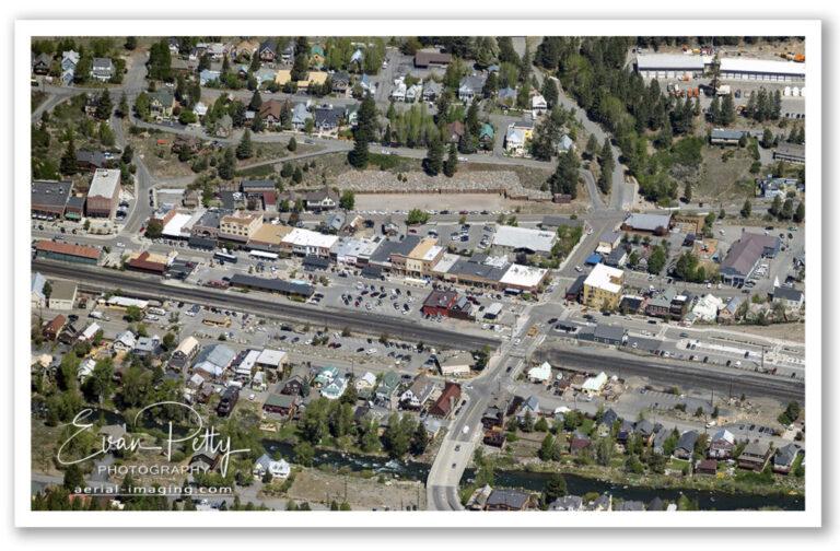
An aerial shot of downtown Truckee looks like a train model set when viewed from the air!
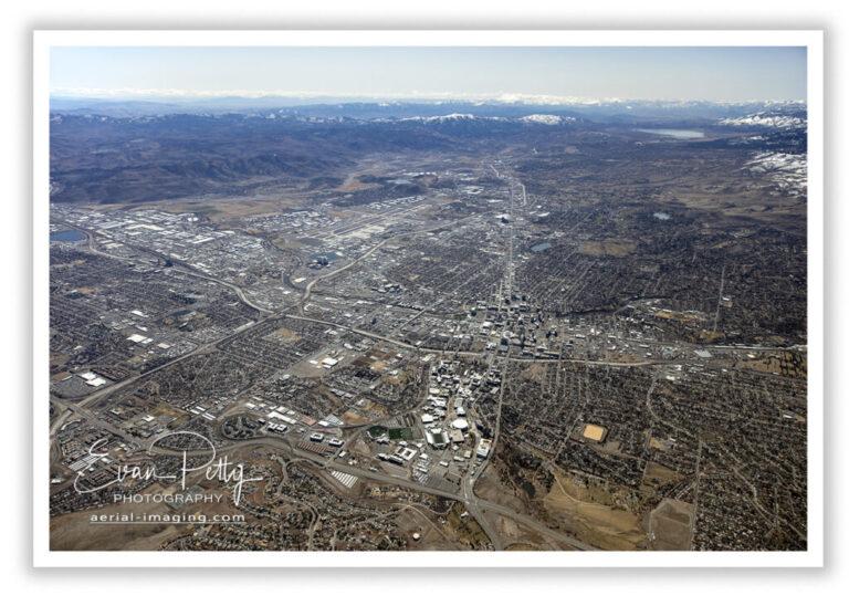
This incredible aerial view of Reno from March 2021 makes a great wall print. It is a result of 10 images stitched together to make this aerial panoramic view.
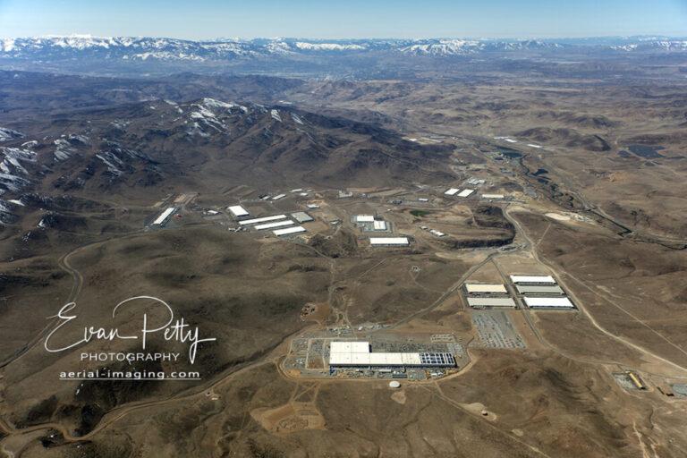
A 2021 aerial view of the Tahoe Reno Industrial Center (TRIC) showing Google under construction, as well as Tesla, Switch, and Petsmart Distribution Center. Downtown Reno is in the background.
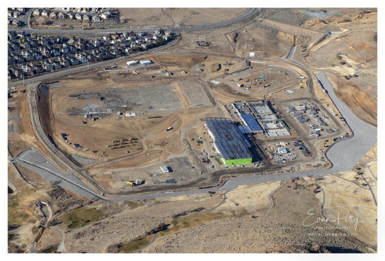
Aerial view of new Hug High School during construction in Reno, NV from Dec 2020.
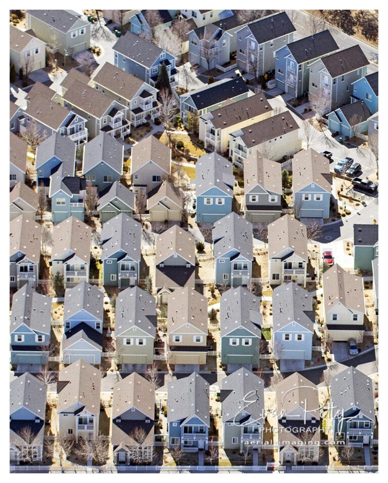
Virginia Lake Townhomes in Reno, NV aerial view. I love the shape of these townhomes from the air!
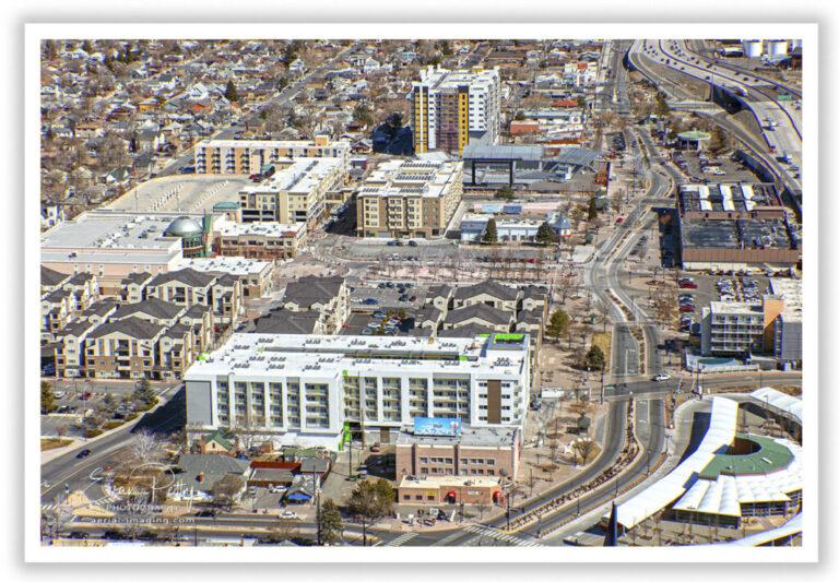
Construction progress of Victorian Square in Sparks, NV showing the Bridges and the DECO – shot yesterday!
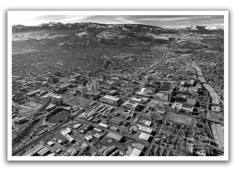
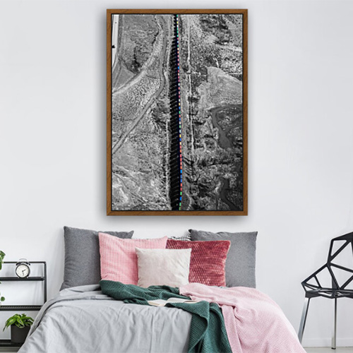
Today I decided to shoot some new aerial photography shots of downtown Reno. I thought this looked interesting with a black and white touch.
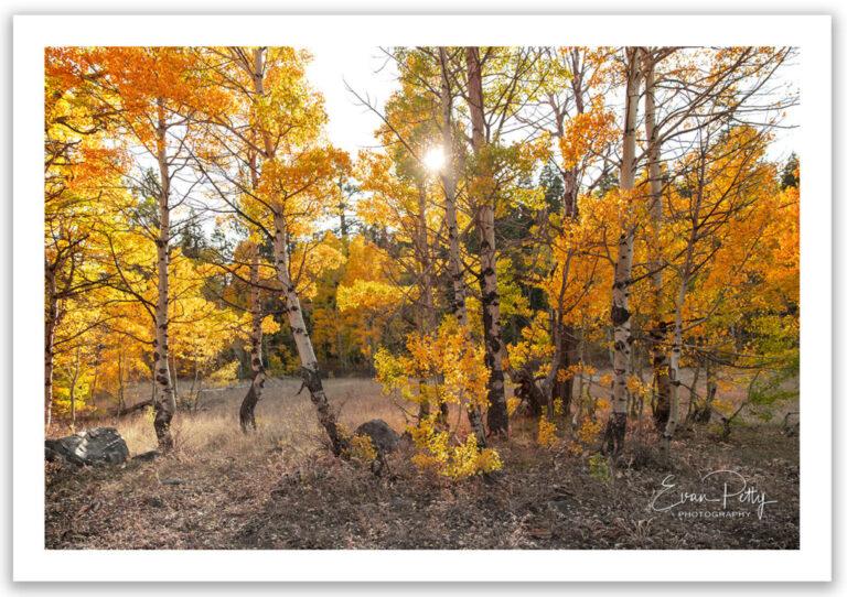
When I am not shooting aerials I really enjoy shooting nature shots, autumn is my favorite time of year. I love to shoot trees more than any other landscape photography. Here are some shots from a few years ago.